
AI for mandated risk monitoring on critical infrastructure.
TRAIL monitors and analyses physical risk across an asset's life, from operation to closure. Every answer carries evidence an engineer can sign and a regulator can check.

Ready to see TRAIL in action?
.png)
“
TRAIL solves a real problem for operators: seeing risk in critical infrastructure early enough to act on it.
.png)








Built for Every Step of the Risk Workflow
.png)
Site Due Diligence

Screen ground conditions, karst, settlement, and groundwater risk remotely before you commit to a site.
Hand owners, insurers, and lenders a timestamped, provenance-backed baseline.
.png)
Operational Monitoring
Monitor the signals that map to your site’s credible failure modes (deformation, water, and change, etc) so anomalies arrive with context.
Know where to focus inspection and capital first, down to zones and features on site.
.png)
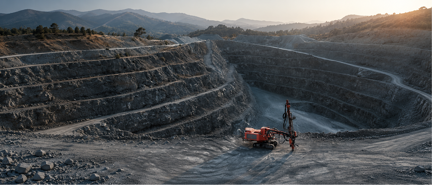
Mine Closure Monitoring
Turn decades of fragmented records into jurisdiction-specific closure and dam-safety submissions.
Map site evidence to credible failure modes, immediately, to support proactive risk management
The Status Quo Leaves Risk Teams Exposed
.svg)
Higher-stakes than ever
Hundreds of mines are entering closure, data centers are being sited quarterly, and power grids and heavy civil infrastructure are expanding exponentially.
.svg)
Built for a climate that changed.
These critical assets now sit in conditions their original designs did not anticipate, exposed to highly dynamic weather, volatile ground behaviour, and other risks outside baseline assumptions.
.svg)
Stretched too thin to stay ahead
Data is abundant, but broken. As the specialist workforce retires out, risk surfaces before anyone has the capacity to see it coming.
A workspace that understands your site and your workflow.
01
Site Ontology
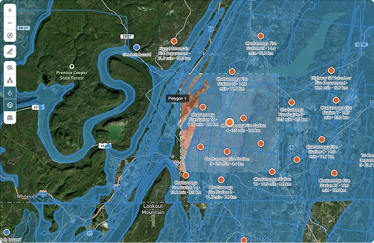
For every project, TRAIL builds a digital site ontology that ties each feature, a tailings cell, a foundation, a corridor segment, to its instruments, imagery, design basis, and history. Context, not just documents.
02
Proprietary Data
Calibrated satellite InSAR (historical and ongoing), optical-imagery history, on-demand high-resolution tasking, geological models, an in-built elevation model, and hydrology risk models. Evidence layered on your map and fed into every assessment.

03
Human & AI Collaboration
- Humans set the direction and ask questions in natural language.
- AI agents orchestrate the available information to surface signals, patterns, and data-backed insights.
- Humans review the insights and the citations behind them to approve findings and understand failure modes.
- Together, human and AI arrive at the credible failure modes and the focused actions that should follow an analysis.
.png)
.png)
.png)
.png)

Share TRAIL with your team
Built For Complex Projects

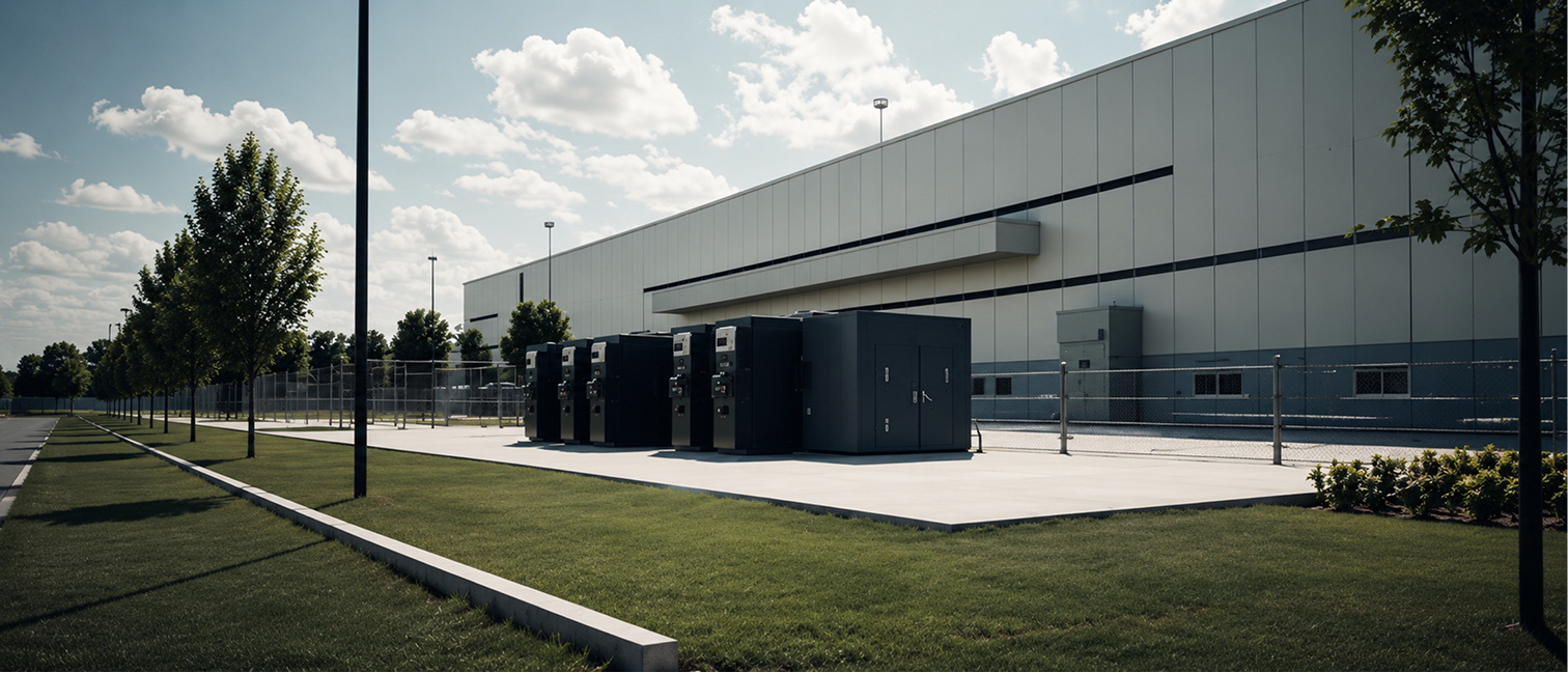
Data Centers


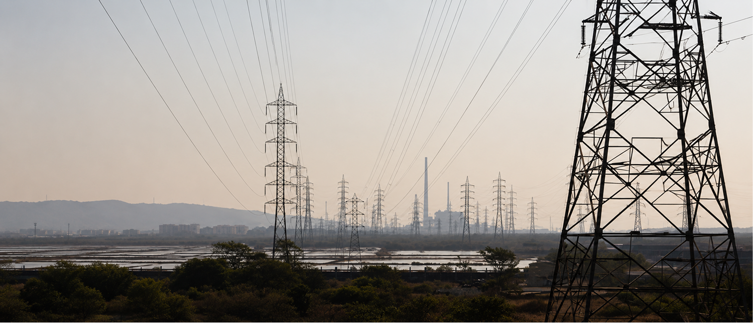
Energy & Utilities

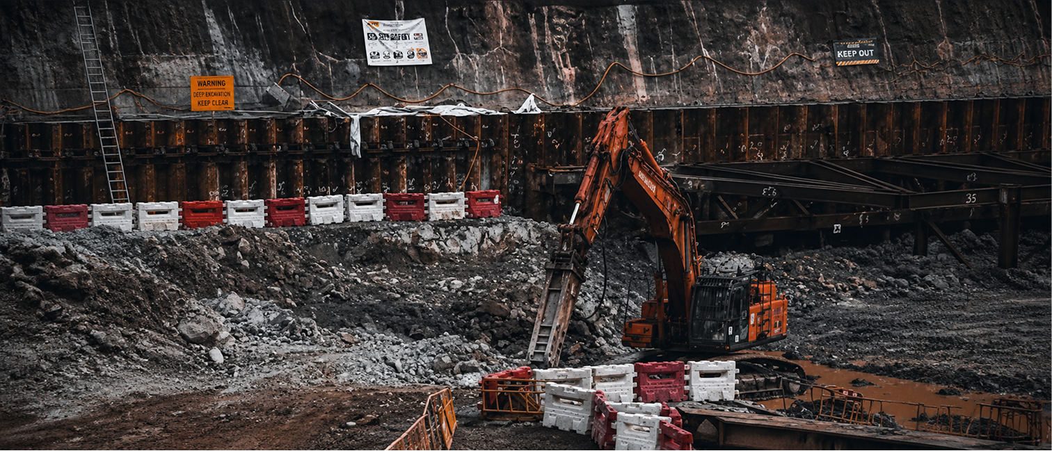
Civil Infrastructure
Saving Millions of Dollars For High-Risk Businesses





Our Founders on Why This matters
.svg)
.png)

.png)






Frequently Asked Questions
Who uses TRAIL?
Risk engineers, underwriters, asset owners, and engineering teams who conduct desktop studies or site monitoring for infrastructure and mining projects.
What if TRAIL gets something wrong or hallucinated?
TRAIL shows reasoning and citation/sources for every conclusion. The chain is preserved for review and audit. Users verify outputs like they would any junior’s work.
How is our data protected?
TRAIL is deployed in secure cloud environments with SOC 2 Type II compliance. Data is encrypted in transit and at rest. We can deploy in your private cloud for additional control.
What’s the typical ROI Timeline?
Time savings visible within first pilot. Compounding value from preserved evidence and faster dispute resolution.
What types of files and data can TRAIL process?
Upload PDFs, PPTs, CSVs, GeoJSON, Rasters or connect data via API. Ask your queries and export responses with citations to reporting tools.
Send us a message
We’ll reach out within 48 hours.


.webp)


.svg)
.svg)
.svg)
Subscribe To Our Newsletter
.webp)