

Table of contents
Introduction
Christopher Lewis, Head of Zurich E&S, and Rahul Anand, CEO and Co-founder of KorrAI, explain how satellite technology can assist in managing subsidence risk.
The average global temperature for 2024 is projected to exceed 1.5°C above the pre-industrial average. Add to it the flooding, hailstorms, tornadoes and tropical cyclones in the news, and it is no surprise that most eyes in the insurance industry are focused on the sky.
There is another climate-related risk, however, that is quietly growing right under our feet. In part due to more frequent heatwaves and prolonged drought and in part due to urban development, water tables are becoming increasingly unstable, causing a higher risk of land subsidence across the globe.
This increased risk of subsidence – a sinking or settling of land – adds another dimension to the risks associated with climate change. Fortunately, new technology offers an innovative way for insurers to help clients better understand and manage the risk of subsidence.
What’s driving subsidence?
Subsidence is caused by a number of factors, sometimes working together. These factors include soil compaction, underground erosion, and/or groundwater extraction within communities. From a climate perspective, long-term drought can lead to a combination of these factors as the ground dries out and compacts, while increasing local demand for water resources and a falling water table exacerbate the risk.

In an article titled The East Coast is Sinking, the New York Times outlined the challenges facing much of the US East Coast. Florida is particularly vulnerable, as highlighted by the tragic collapse of the Champlain Towers South condominium building in Surfside in June 2021. But the issue is a global one, as demonstrated by the growing residential property concerns in the UK and the increased contribution of subsidence losses to overall property losses in France.
In the past, understanding the risk of subsidence for a particular building required either a site engineering study, which is unusual except for new construction, or a check of typically high-level subsidence maps developed by government bodies.
In the US, high-level subsidence maps are published by the US Geological Survey (USGS). But these maps are not granular and only cover a subset of states, such as Texas, Florida, Pennsylvania and California. The challenge is that subsidence risk must be evaluated at a more granular level, and the risk is dynamic as local conditions change over time.
Absent more detailed information, property owners are not prepared to effectively manage the risk of subsidence and, in what are perceived to be high-risk areas, insurers often restrict coverage for losses caused by subsidence. What is needed is a more sophisticated approach to understand the risk.
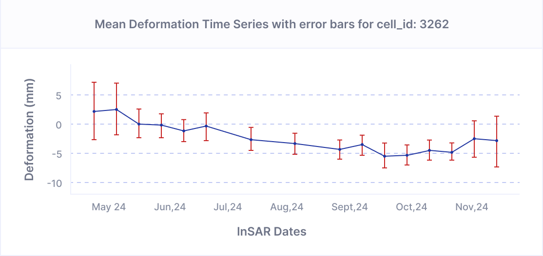
A breakthrough solution starts with interferometric synthetic aperture radar (InSAR) data, which uses radar signals from satellites to measure and map changes in the Earth’s surface.
KorrAI’s technology
InSAR has been around for several decades but has found limited commercial use outside mining and infrastructure risk assessments.
The challenge with InSAR is the extensive computational requirements for processing this information efficiently for commercial applications. KorrAI, a 2023 Zurich Innovation Championship winner, figured out how to process InSAR data at an unprecedented scale using rapid data processing and AI tools. KorrAI analysed the risk of ground subsidence in six states covering nearly half of the US.
Moreover, the InSAR data was calibrated with Global Navigation Satellite System-based measurements of ground movement to produce granular subsidence risk assessments at a county, zip code or individual address level. We believe this is the first-ever granular assessment achieved over such a wide scale.
KorrAI’s technology is built on proprietary AI algorithms that process InSAR data, enabling the detection of ground movement with millimetre-level precision. The system utilises both the Argentinian Space Agency’s SAOCOM L-band satellite and the European Space Agency’s Sentinel 1 C-band satellite, with plans to incorporate data from the NASA-ISRO Mission. For the deployment of the technology with Zurich North America, over one petabyte of satellite data is processed, covering approximately one million square miles of land area annually.
KorrAI then employs advanced spatial statistical techniques to create a subsidence risk index, identifying significant clusters of ground movement to within a 99 percent confidence level. Focusing on statistically significant clusters helps filter out noise and isolate true subsidence trends. Each target location is assigned a 0-100 risk score (the higher the score, the higher the subsidence risk).
Next, KorrAI applies a sophisticated hazard grading methodology for a property using a nuanced view of subsidence risk that accounts for localised and broader trends in the community, land use and land cover profile and underlying geology. Based on modelling the ground movement profile to historical events of subsidence and claims, KorrAI then predicts a proprietary risk score at a location-specific or local-regional level.

Does Houston have a subsidence problem?
KorrAI’s subsidence risk scores provide data that can help Zurich’s E&S business advise customers, refine risk selection and potentially even expand coverage in areas that were perceived to be at high risk of subsidence based on less granular maps. As an example, Zurich E&S and KorrAI analysed a large number of accounts in the Houston tri-county region, an area that the USGS has historically designated as high risk. Using KorrAI’s proprietary methodology, Zurich determined that many properties were in low-risk or medium-risk areas. The more localised detail enabled Zurich E&S to offer coverage capacity in some areas that otherwise may not have qualified. In other applications, Zurich is using KorrAI’s technology to supplement site engineering studies on new construction and monitoring site conditions over time on larger construction projects.

Why does subsidence risk matter to insurers and their customers?
A well-functioning insurance market helps clients better understand and manage risk, while providing insurance products that reduce the client’s costs for bearing idiosyncratic risks through risk pooling. However, many risks are not fully understood, and the risk landscape is itself dynamic.
Gaps in information can create coverage gaps in the market and increase the cost of risk for clients. With respect to subsidence, these coverage gaps are evident in both the homeowners insurance market, where coverage for property collapse is typically limited to “sudden and accidental” collapse, and in the commercial insurance market, where coverage for subsidence can be hard to obtain and more expensive in areas historically perceived as higher risk.
KorrAI’s technology is transforming how Zurich E&S approaches subsidence risk across its portfolio. In low-risk areas, Zurich can consider expanding coverage where traditional assessments may have been overly conservative. For high-risk locations, Zurich can make more informed decisions about risk selection and exclusions. And in medium-risk areas, KorrAI’s enhanced monitoring capabilities enable dynamic tracking of changes at a local level.
This comprehensive approach not only can help to close a coverage gap in the industry but also has the potential to drive both revenue growth and portfolio quality. Furthermore, it equips underwriters and risk engineers to help customers build greater resilience against the risk of subsidence. These capabilities align with Zurich’s strategic focus on expanding risk appetite in favourable areas while maintaining strong underwriting discipline through granular risk assessment.
What’s next
The KorrAI technology opens potential new horizons. For Zurich E&S, it equips underwriters and risk engineers to help customers build greater resilience against the risk of subsidence. KorrAI, meanwhile, is exploring ways to expand its product offerings and enter new markets.
The technology is already advancing. KorrAI sees expanded coverage possibilities, improved pricing accuracy and proactive risk management through an early warning system for potential claims. Continuing advancements in the quality and availability of satellite imagery will allow for even more precise predictions and risk assessment.
The collaboration between KorrAI and Zurich E&S also highlights the value of applying innovative technology to help solve tough insurance risk challenges.
The next step? How can these tools be leveraged to address other risks in the US and across the globe?
Share this post
Written By
.png)

Rahul Anand
CEO & Co-Founder
Rahul is the CEO & Co-founder of KorrAI. A serial entrepreneur, he has built successful companies in consumer internet and IoT previously. Now, he has set his sights on combating ground subsidence which is expected to affect over 25% of the global population in the coming decades.

Christopher Lewis
Head of E&S, Zurich North America
Christopher M. Lewis is Head of Excess & Surplus (E&S) for Zurich North America. He is responsible for developing and executing E&S strategy and actions to best respond to the needs of customers and brokers, while helping Zurich better serve the E&S market and achieve growth in it.
Written By

Team KorrAI


We send the occasional email with updates, our latest blogs, and our favorite reads on InSAR and the slow moving landscape of ground subsidence.
Subscribe To Our Newsletter
Read by top professionals at


Thank you! Your submission has been received!
Oops! Something went wrong while submitting the form.
.png)
KorrAI identifies threats to critical infrastructure from ground movement using InSAR data from satellites and on-ground sensor networks.


Copyright
.svg)
2025 KorrAI