

Table of contents
Introduction
Have you ever noticed what happens to a sponge when it's wet? It swells up, becoming firm and solid. But once you wring out all the water, it turns small and shrinks. Interestingly, this simple everyday observation can give us a great insight into a complex global phenomenon that often goes unnoticed – land subsidence.
Land subsidence refers to the process where the Earth's surface starts to sink or lower itself. Much like the slow and almost invisible shrinkage of a sponge, land subsidence is a gradual process that might not be as visible as natural disasters like floods or wildfires, but it is just as significant and damaging.
Here's what makes it important:
- It can provide valuable insights to a variety of sectors, from urban planning to insurance, enabling these sectors to manage the associated risks proactively.
- The regions affected are often already grappling with the threat of rising sea levels due to climate change. With land subsidence added to the mix, these areas become significantly more vulnerable to risks like flooding and extreme weather events.
While land subsidence affects areas worldwide, it has a noticeable impact on Canada's diverse landscapes. Several regions in Canada experience the effects of land subsidence, particularly in areas with specific geological characteristics and human activities. Coastal regions, such as parts of Atlantic Canada and the low-lying areas along the Gulf of St. Lawrence, are particularly vulnerable to land subsidence.
Here, the combination of rising sea levels and sinking land amplifies the risk of flooding and coastal erosion. Inland areas can also face the consequences of land subsidence. Certain regions in Canada, including parts of the Prairie Provinces and soft soils within the Canadian Shield, may experience subsidence due to various factors such as natural compaction, groundwater extraction, or even the effects of thawing permafrost.
But understanding and unraveling the intricacies of land subsidence is not a straightforward task. Let's say you're looking at a city. Not all parts of the city will sink at the same rate. Different areas can experience different rates of subsidence, adding another layer of complexity to this challenge.
Dr. Vern Singhroy, a respected expert in the field of radar remote sensing applications, helps us understand these complexities. He says, "Cities aren't sinking uniformly. If you look closer, you'll find certain pockets within a city that are sinking faster than others. These become hotspots of accelerated subsidence due to a range of geotechnical factors.
These factors can be both natural and induced by human activities. Some areas might be sinking because they are reacting to long-term geological activities, while others are showing the signs of human intervention like groundwater extraction, oil extraction, or even mineral extraction. In some urban areas, the weight of the buildings can be enough to accelerate the subsidence.”
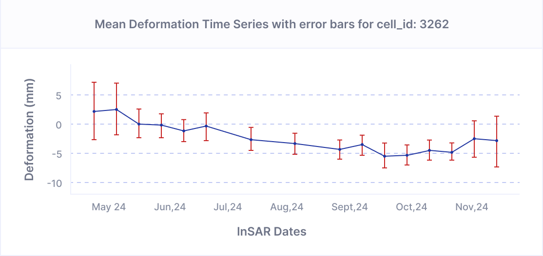
Recognizing the severity of this issue, we at KorrAI are committed to doing our part in addressing it. We leverage AI and advanced remote sensing to interpret satellite data, identifying regions experiencing significant rates of land subsidence. Our AI models can accurately detect minor changes in ground elevation over time, signifying gradual sinking. This predictive capability is crucial for early intervention and planning.
In practical terms, our insights can help:
- Infrastructure reinforcement: Identifying areas where infrastructure, such as buildings or roads, needs to be strengthened to withstand the pressure of land subsidence.
- Urban planning: City planners can use this data to guide urban development away from areas at risk of subsidence or invest in infrastructure that can better withstand the effects.
- Property Insurance: Insurers can leverage this data to make informed underwriting decisions, taking into account the risk of land subsidence to properties.
- Critical Asset Monitoring: Owners of critical and remote assets, such as mine sites that are not easily accessible for continuous monitoring, can use these insights to anticipate and manage risks associated with land subsidence.
- Government Infrastructure Maintenance: Government agencies, like the Department of Transportation, responsible for maintaining a vast network of linear infrastructures such as highways and roads, can utilize this data to prioritize maintenance and repair works based on subsidence patterns.
- Groundwater extraction strategies: Areas where groundwater extraction needs to be reduced can be pinpointed to manage the risk of land subsidence.
The U.S. Geological Survey (USGS) emphasizes the seriousness and widespread nature of this problem in its report. The report states that human activity affecting subsurface water is responsible for over 80% of the identified subsidence in the U.S. An area of 17,000 square miles across 45 states, roughly the size of New Hampshire and Vermont combined, has been directly affected by subsidence.
By leveraging AI based remote sensing, and fostering global partnerships, we believe we can effectively address land subsidence, shaping a more sustainable future for all.
Video credits : https://www.esa.int/Applications/Observing_the_Earth/Copernicus/Sentinel-1/Doubling_radar_vision_of_Earth
Share this post
Written By
.png)

Rahul Anand
CEO & Co-Founder
Rahul is the CEO & Co-founder of KorrAI. A serial entrepreneur, he has built successful companies in consumer internet and IoT previously. Now, he has set his sights on combating ground subsidence which is expected to affect over 25% of the global population in the coming decades.
Written By

Team KorrAI


We send the occasional email with updates, our latest blogs, and our favorite reads on InSAR and the slow moving landscape of ground subsidence.
Subscribe To Our Newsletter
Read by top professionals at


Thank you! Your submission has been received!
Oops! Something went wrong while submitting the form.
.png)
KorrAI identifies threats to critical infrastructure from ground movement using InSAR data from satellites and on-ground sensor networks.


Copyright
.svg)
2025 KorrAI